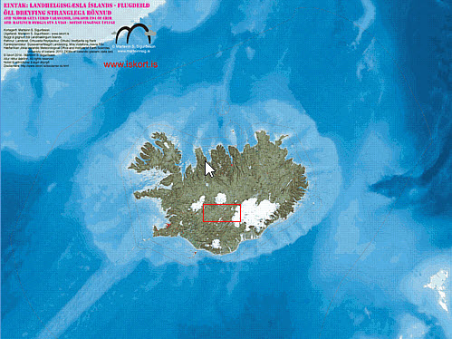
Now the cartography project for the flight division of the Icelandic Coast Guard is finished. Maps were formally handed over in march 2014.
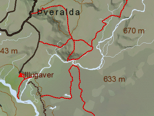
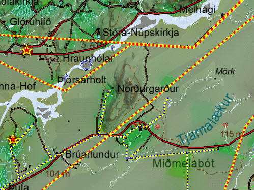
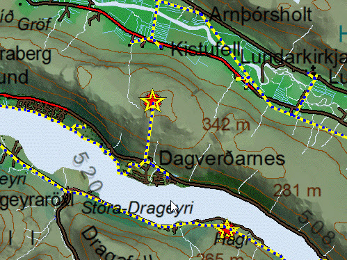
The maps are specially equipped for the helicopter team needs in mind, highlighting the factors that increase their safety in flight. The main objects highlighted are telecommunications towers and power lines . Also prepared was an extensive collection walksways and trailes spanning over 1100 trails all around Iceland.
Data from the telecommunications companies and others who have masts in their control, tripled the number of telecommunications towers from open data. In addition, data from the Icelandic Hydrographic Service , lighthouses , buoys , depth lines and other lines in the sea is made visible , but such information helps the helicopter crew in search of the sea .
Also on the maps are locations of flight beacons for IFR flight and information for the helocopters regarding flight over Iceland.
With the collection of information collected for those specialized maps, where the views of aviation safety , searching both at sea and inland is combined into one map collection.
Screen shots below show the main elements of the maps where the information in question appear on the map.
 Area around Iceland spans from Greenland to Faroe Islands, showing boundaris. |
 Submarine cables and territorial lines |
 Buoys and shallows, marked with symbols in accordance with the charts of Hydrographic Agency |
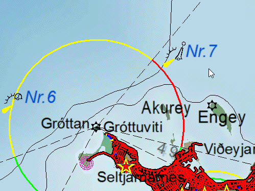
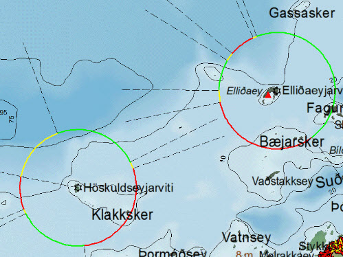 Colored sectors from the lighthouses are shown |
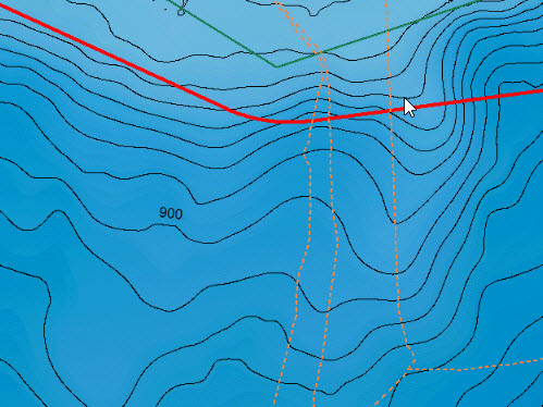
 Discontinued roads are highlighted to help law enforcement in the hightlands. |
 Power lines made very evident in the map, and the distinction is made between the town line and large distribution lines |
 telecommunications masts made evident in the maps. |
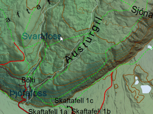 Trails and walkways |
Creating maps like this for use in the ICG helocopters , containing huge amount of data from various sources could not be possible with out the help and support provided by the following parties.
National Land Survey of Iceland – Basemap of Iceland IS-50V
ICG Hydrographic Department – Depth Lines, place names in the sea, buoys, lighthouses and other navigational charts data
Icelandic Meteorological Office– Glacial mapping
Science Institute – University of Iceland – Glacial mapping
The National Tetra Service – Location of telecommunications towers
Landsbjorg – ICE-SAR – Location of telecommunications towers
Loftmyndir ehf – Mapping consultant
Míla – Location of telecommunications towers
Vodafone – Location of telecommunications towers
Ísavia – Location of telecommunications towers
Rúv – Location of telecommunications towers
Landsvirkjun -Powerline paths, Windmill locations
Landsnet – Powerline paths
Orkubú Vestfjarða – Powerline paths
Rarik – Powerline paths
Orkuveita Reykjavíkur – Powerline paths
Fiskistofa – Information of fishing areas, closed areas and fishing boundaries
Members of SAR team Hjálparsveit Skáta Reykjavík – Collection of trails and walkways
Þórhildur Önnudóttir – Mapping consultant