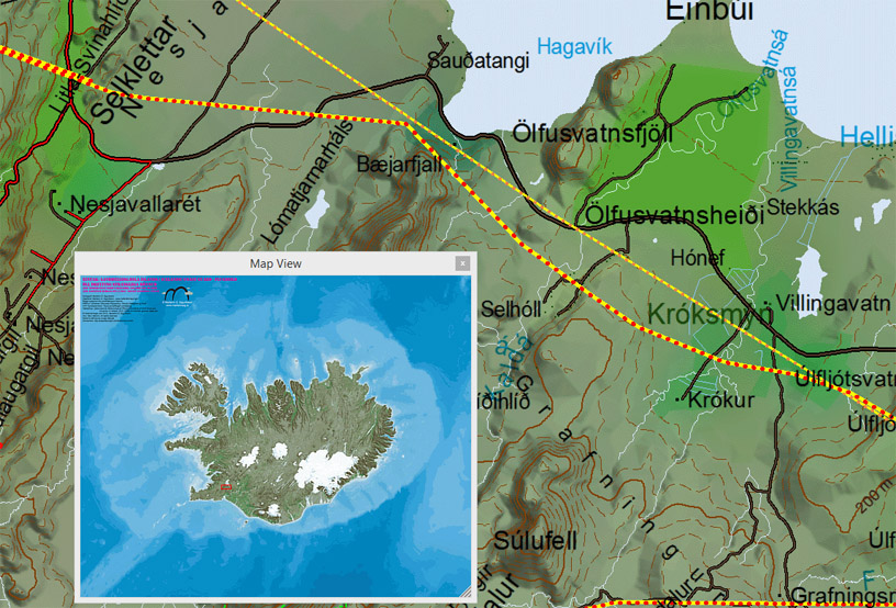
In early 2014 I made a special map for the Icelandic Cost Guard. The maps are specially made for the helicopters, where power lines and telecommunication towers are highlighted in the map. Also information from the Hydrographic department was added to the maps so the helicopters can have the nautical map’s information in one set of maps.
The maps span from east of Greenland to Ireland.
Here is a sample, where power lines are highlighted and have different types of line in regard of their height from ground.